Picture-Perfect Places
Sarvent Glacier Cross-Country Zone, Mount Rainier
by Sherry Pincus
The Photographer
Sherry Pincus. I’m an avid backpacker and photographer, and a personal chef based in New York City and northern New Jersey.
The Picture Perfect Place
Sarvent Glacier Cross-Country Zone, Mount Rainier National Park
What’s There To Photograph
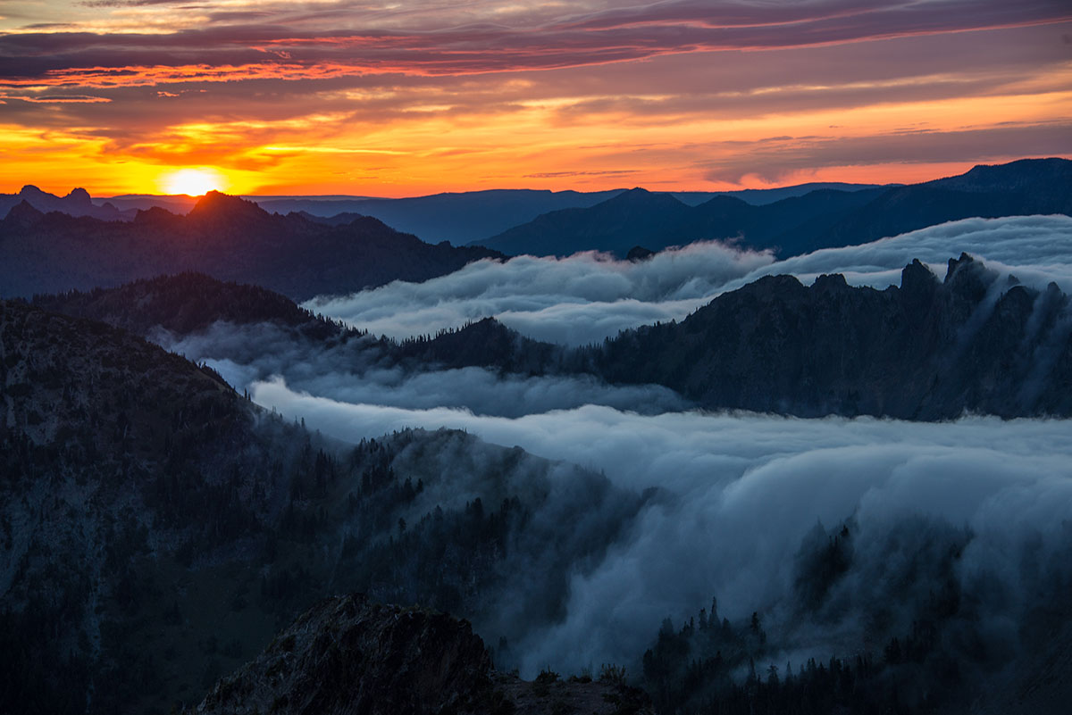
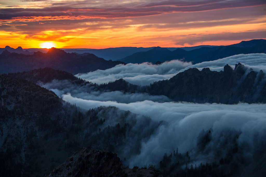
A 360-degree view of mountains: Mt. St. Helens, Mt. Adams, Mt. Hood and others, and obviously Mt. Rainier. You basically have a front-on view of the entire east side of Rainier, literally from the southern edge all the way up the northern side. You can see absolutely all of it. And behind you, you’re looking down into an area with glaciers that rest on old volcanic plugs called the Cowlitz Chimneys. They’re very worn, they’re gorgeous and they’re covered with lichen and all kinds of minerals. For macro work, there are also these tiny alpine flowers—really tiny. The other thing there to photograph is a resident herd of 30-45 mountain goats that wander all through the area, literally right by you. They are completely unfazed by people.
When To Go
The time of year is very important. There would be no possibility to get to this spot safely other than from mid-July to the end of August. You have maybe a six- to eight-week window.
Why I Love This Place
I love the Sarvent Glacier Cross-Country Zone for its remoteness and the fact that it is so untouched by people. There’s only one permit issued at a time for this area, so it’s just you. You literally have all those hundreds of acres completely to yourself. And because you’re high up, your views of the mountains are just incredible. It’s so expansive that you have options for both sunrises and sunsets. The sun comes up over the Chimneys, and you watch that first light hitting on the mountain—that part of the day is just unbelievable.
How To Get There
The Sarvent Glacier Cross-Country Zone is accessed from the east side of Mt. Rainier, at Panhandle Gap, the highest point on the Wonderland Trail (which goes all the way around the mountain). You can get to Panhandle Gap from two directions:
1) You can approach from the south by entering at Box Canyon Trailhead, and hike 11 miles with over 4,000 feet of elevation gain. This is the route I take.
2) You can approach from the north, which is the easier trip. From the Fryingpan Creek parking area, it’s a 5.5-mile hike to Panhandle Gap. That doesn’t sound like much, but it’s climbing, with a challenging altitude gain. You can do it in one day, but you’d be tired. The less taxing alternative is to hike 4 miles from Fryingpan Creek to Summerland, where you can spend the night at an official backcountry campsite (permit required). From there, you would have only 2.5 additional miles to get to Panhandle Gap.
(If you arrange for transportation, you can tackle either option as a through-hike, as opposed to out and back via the same route. The whole trip is about 19 miles with magnificent scenery every step of the way.)
Once at Panhandle Gap, you head off-trail due east for about a mile, and you’re just climbing up at that point. But it’s easy, like a rolling-meadow kind of climb. You know you’re in the Sarvent Glacier Cross-Country Zone when the edge of the earth arrives; you climb to the top of this area and then there’s a cliff that falls thousands of feet. You don’t have to wonder if you need to go further.
You don’t need a permit for hiking through this area, but you do need a permit to camp, and the hike is so long that you need to stay over. So, essentially, you need a permit to visit and photograph here.
For the best photography opportunities, stay at least one night, and I recommend two. You definitely want to be up there for at least one sunset and one sunrise. You’re putting a lot of effort just to get there, so you don’t want to arrive and have it be raining that night and then you’re done.
Also, there is no water. You have to bring in whatever you need. Check with the ranger station when you pick up your permit for information about current reliable water sources.
Google Map Link: Sarvent Glaciers
Park Website: www.nps.gov/mora
Would you like to share a Picture-Perfect Place? Submit one here today!
[contentblock id=articlefooter]


